Chapter 3:
The story of the Earth that shaped Japan
CREATE
The long and narrow Japanese archipelago is made up of many islands stretching from north to south. Has it always been like this?
The answer is "no."
The Japanese archipelago began to form only a few tens of millions of years ago—quite recent in the 4.6 billion-year-long history of the Earth. Let's take a look into the story of the Earth that created the Japanese archipelago.
Memory of the Land
Since its birth almost 4.6 billion years ago, the surface of the Earth has continued to change shape as the land moves and climate changes. It is a matter of course for us that Japan is made of islands, but in the long history of the Earth, the birth of the Japanese archipelago is a recent event. The part of the land that would become the Japanese archipelago was originally located on the margin of the Eurasian continent.
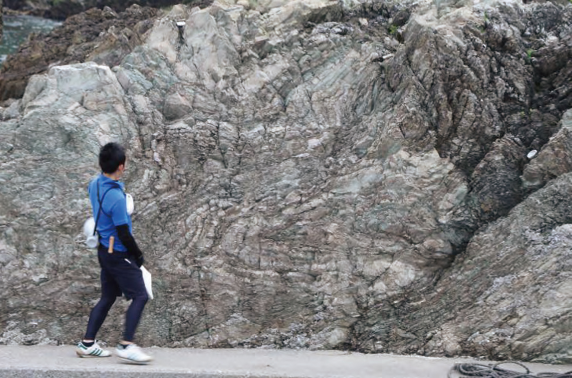
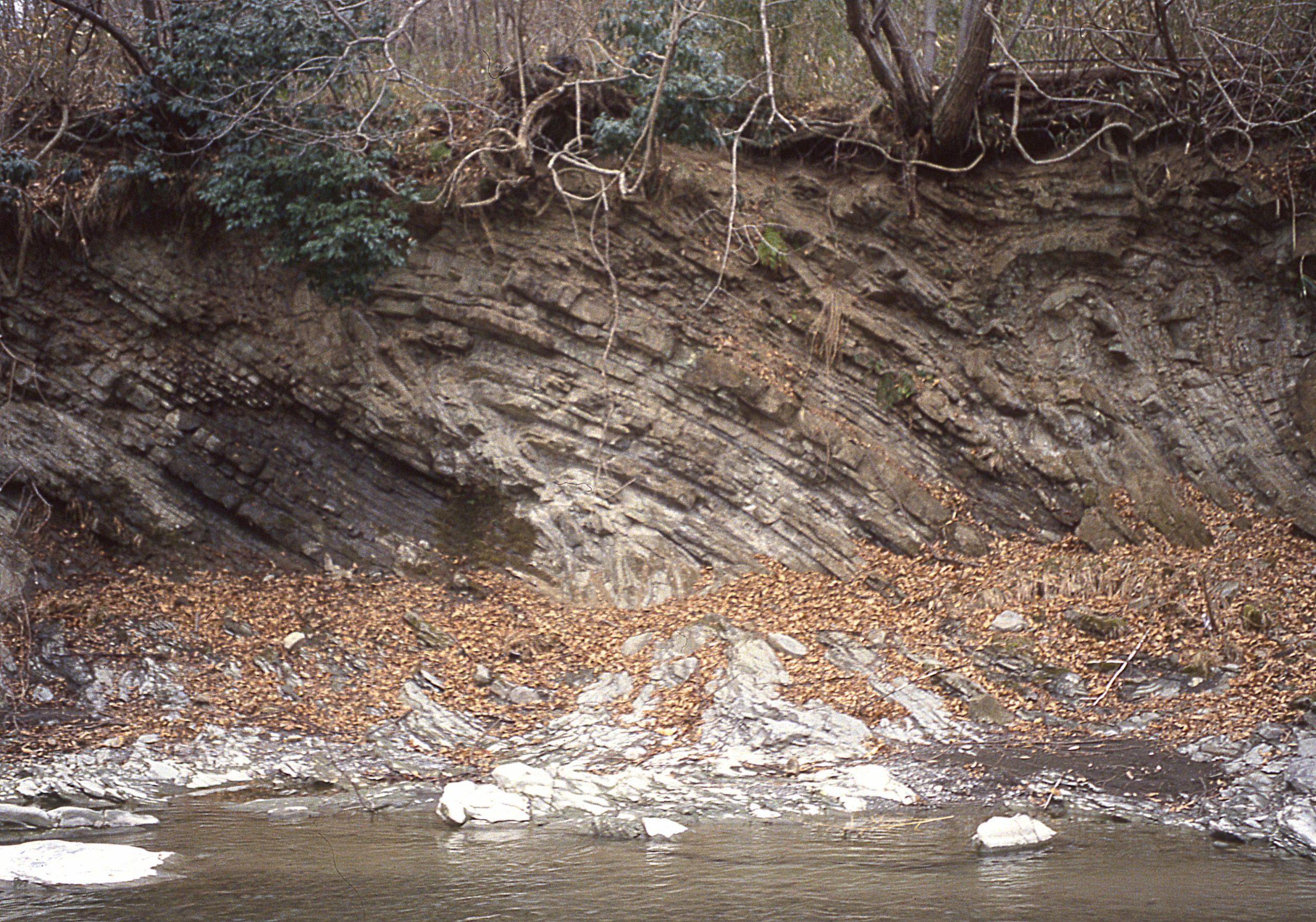
At the continental margin, the oceanic plate was subducting under the continental plate. In plate subduction zones, some of the sediments on the ocean floor are scraped onto the continental plate. The materials added to the continental plate are called accretionary prism.
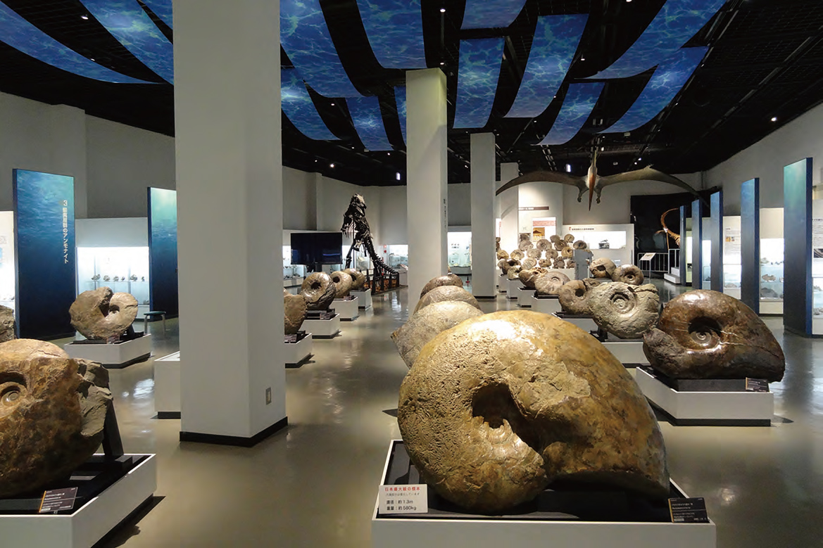
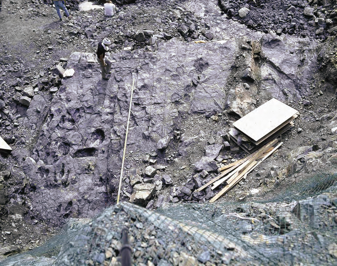
In addition, a large amount of magma cooled and solidified beneath the continental plate, forming plutonic rocks (a type of igneous rock). The basis of today's Japanese archipelago is made of accretionary prisms and plutonic rocks from this period. It was at this time that ammonites were still swimming in the sea, and dinosaurs still roaming the land.
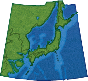
Expansion of the Sea of Japan and formation of the Japanese archipelago around 70 million years ago
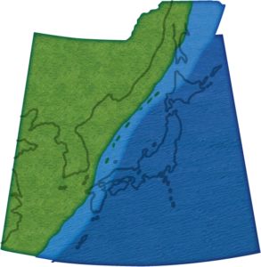
The birth of the Japanese archipelago
Expansion of the Sea of Japan and formation of the Japanese archipelago around 25 million years ago
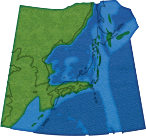
The birth of the Japanese archipelago was triggered by immense volcanic activity that began around 26 million years ago on the continental margin. This activity separated a portion of the land from the continent, creating the origin of the Japanese archipelago. Water filled the fissures on the land forming a huge lake, which further expanded and became the Sea of Japan.
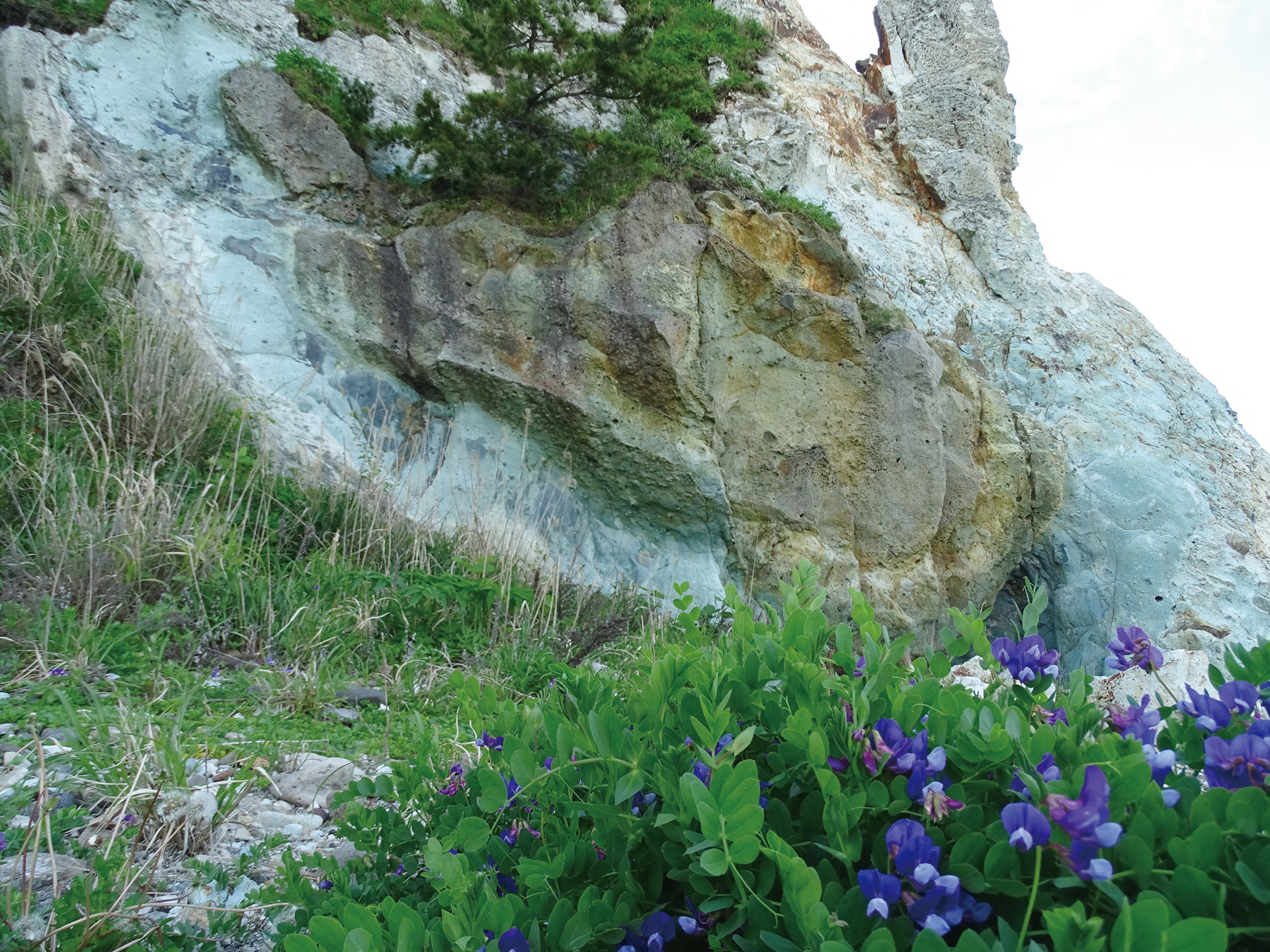
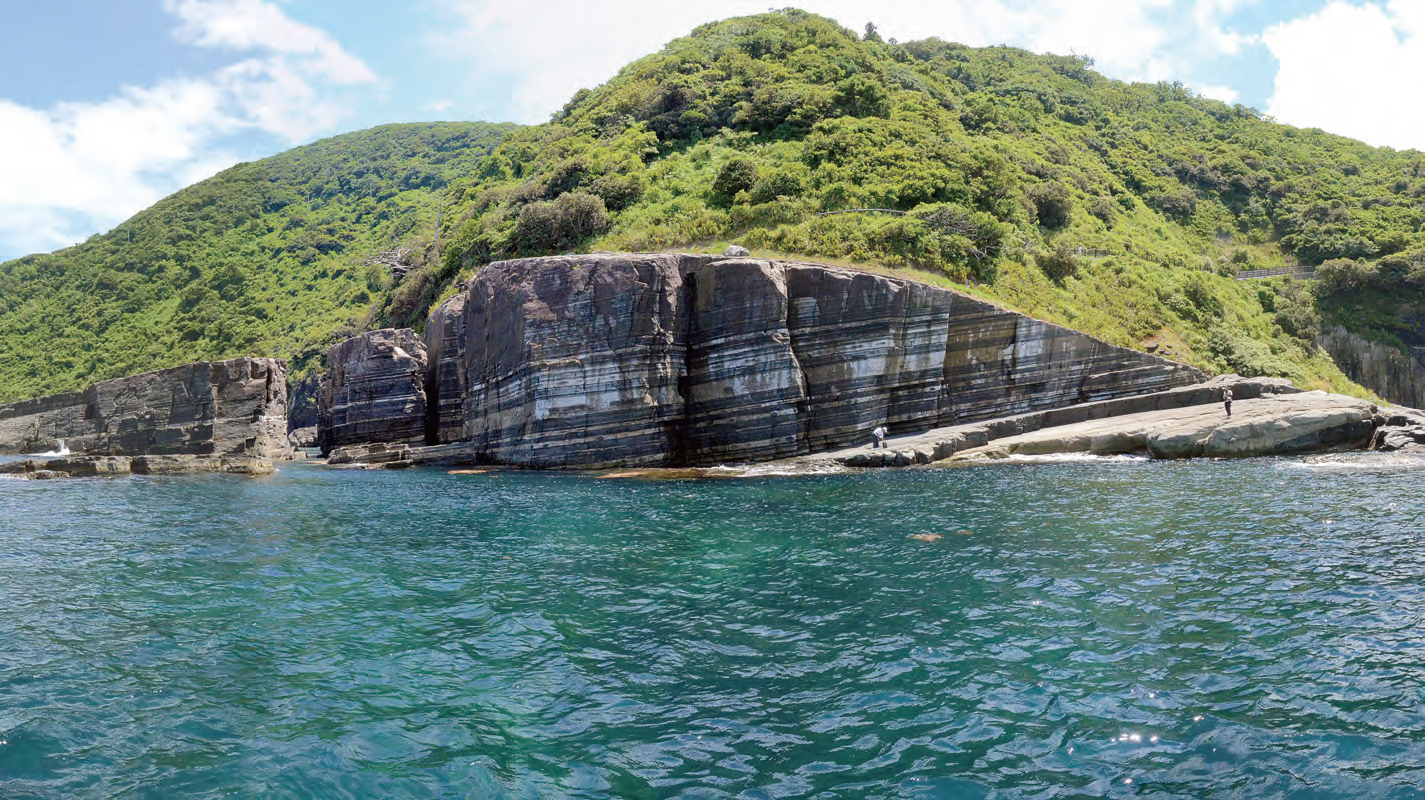
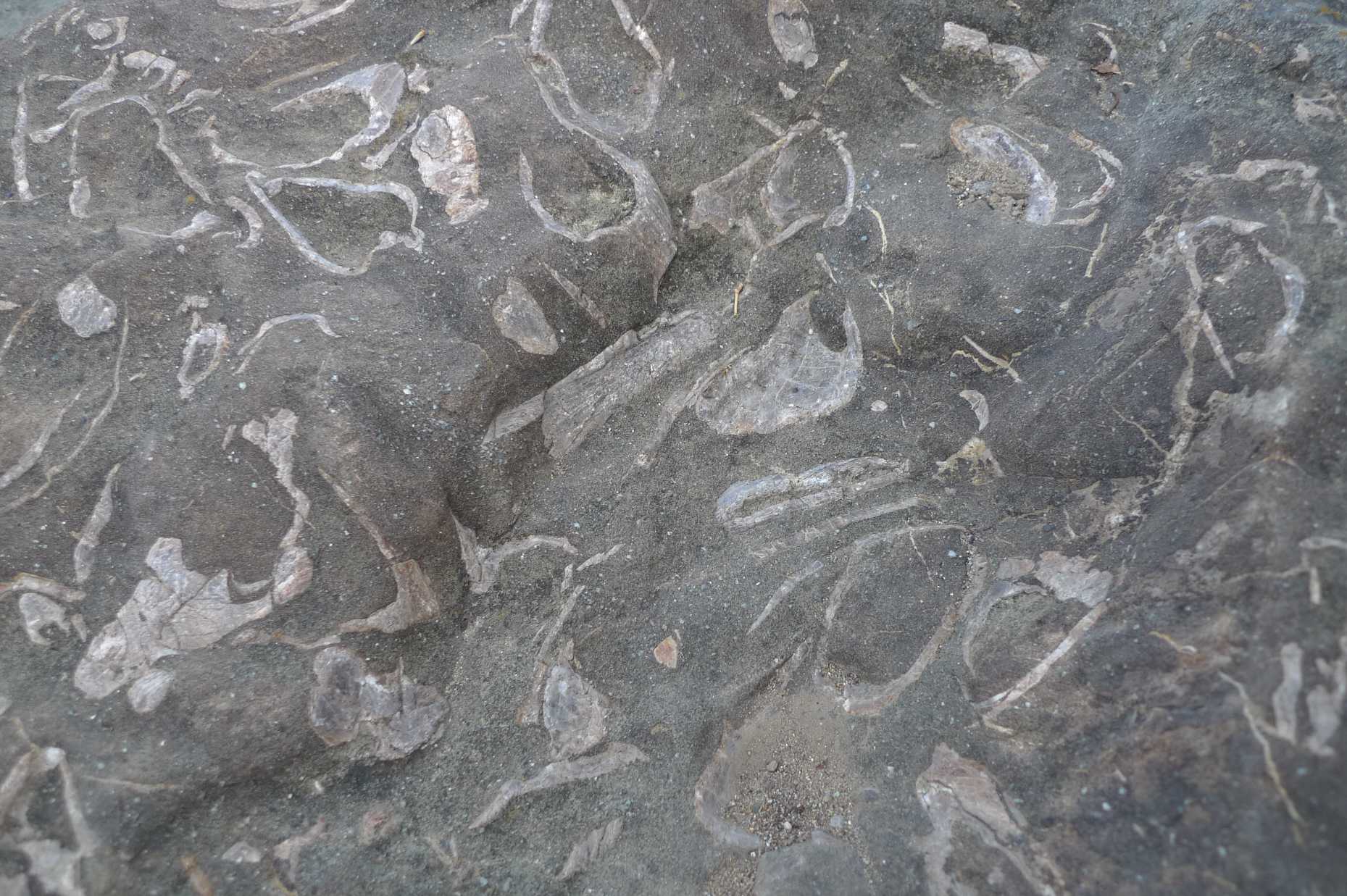
Large amounts of lava and volcanic ash erupted from submarine volcanoes in the Sea of Japan. The green tuff widely distributed in the Oga Peninsula and San'in Coast are traces of the immense submarine volcanism of this period. The term green tuff is also used as a generic term for the distribution area of pyroclastic rocks that span from mainland Japan to Hokkaido, which were created during the formation of the Japanese archipelago. These rocks, found all over Japan, are the common evidence, for the creation of the Japanese archipelago.
It is also thought that there was a strait connecting the Sea of Japan to the Pacific Ocean in the east of Japan. This strait is called Fossa Magna (meaning "great gulf" in Latin). Traces of the sea from that time can still be seen in Chichibu (Saitama Prefecture) and Shimonita (Gunma Prefecture).
The ever-changing Japanese archipelago
Located in an area of dynamic tectonics, the land around Japan is still actively moving. Some say that around 10% of all volcanic and seismic activity on the planet occurs in the vicinity of Japan.
Day by day, the ground gets higher or lower as volcanic eruptions or earthquakes occur. Rain, wind, and waves also chip away the land little by little. If we fast forward the time, we will notice the landscape in front of us is endlessly changing.
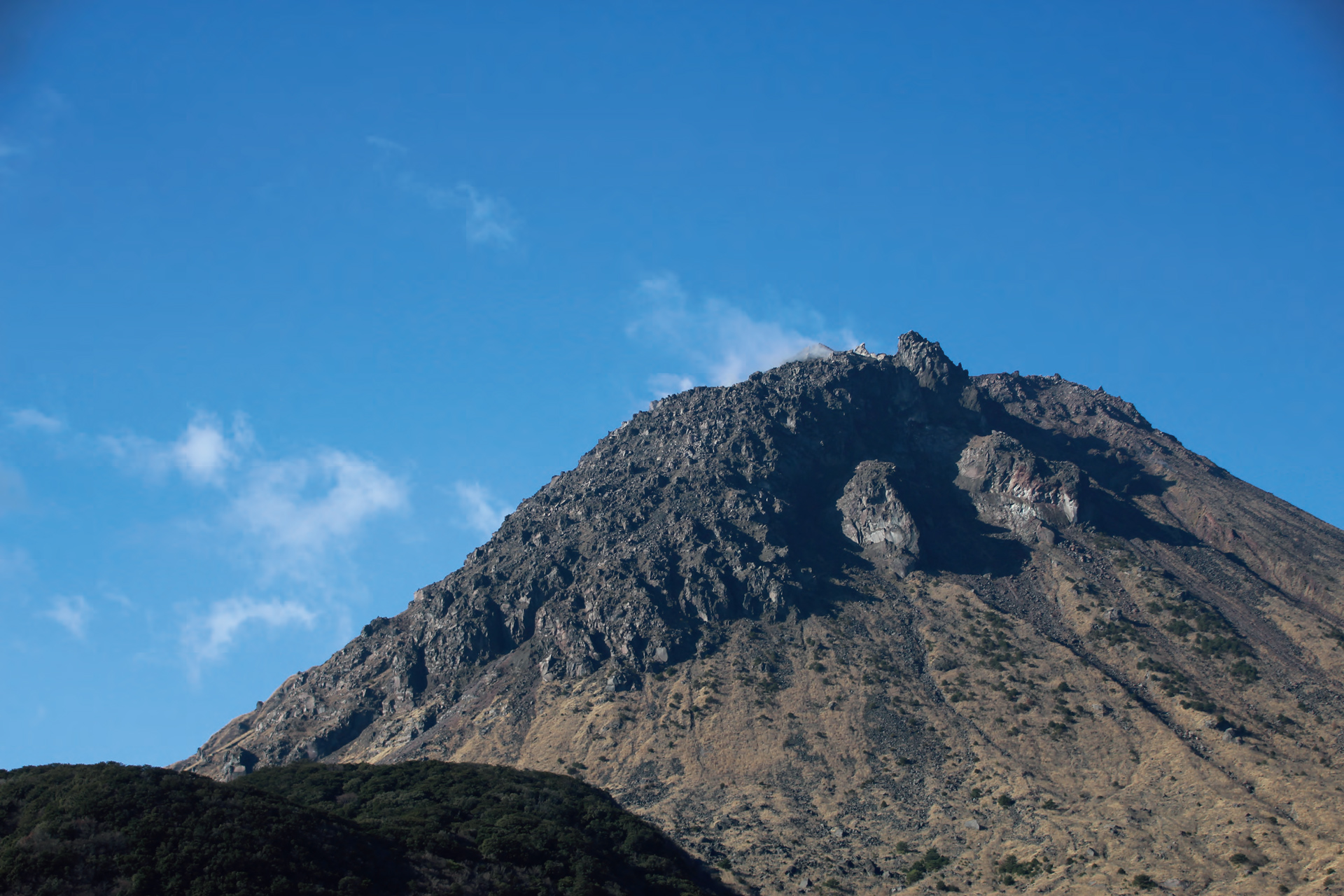
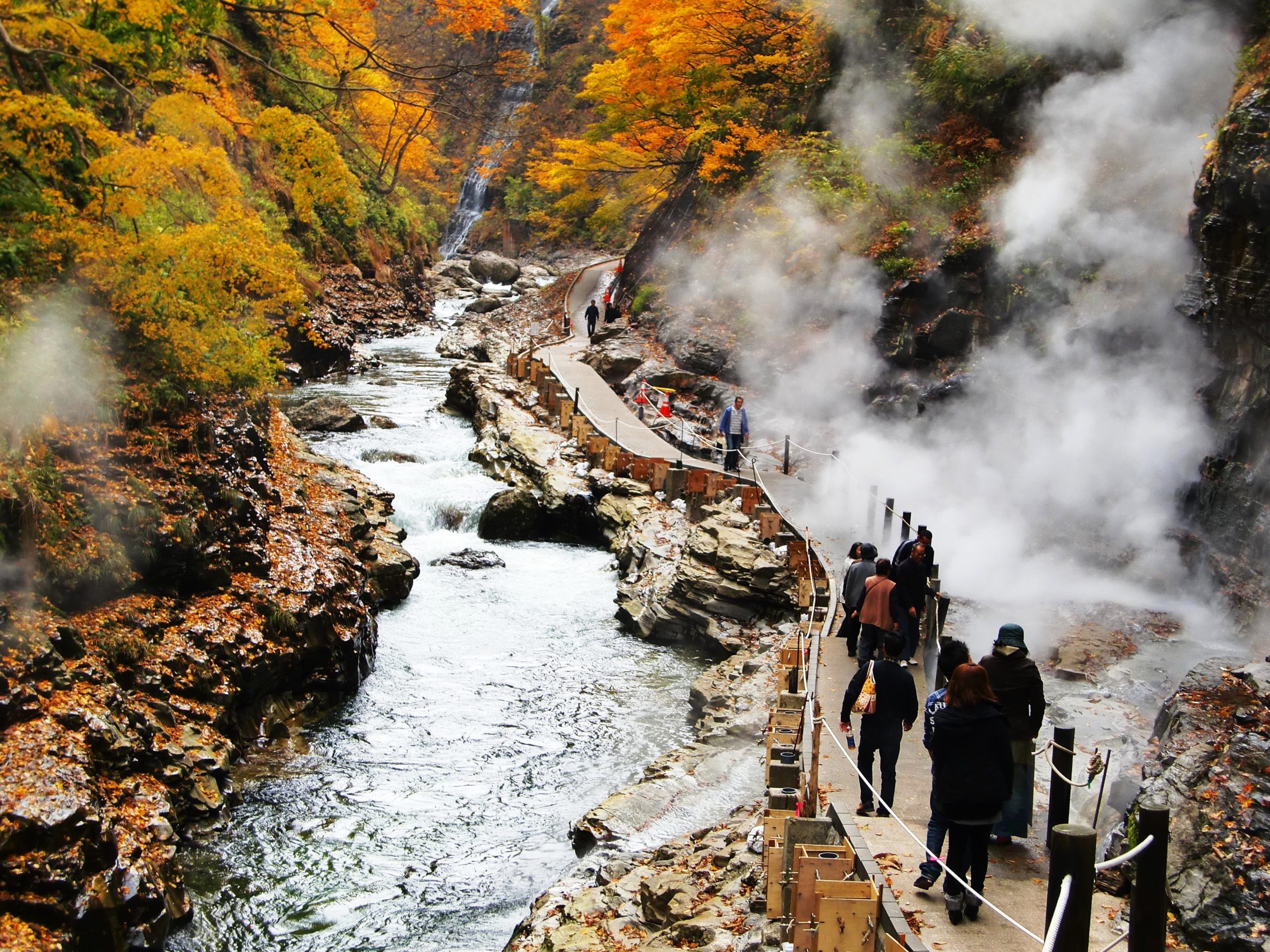
Changes to the Earth, such as volcanic eruptions or earthquakes, have also brought us many gifts. For example, in Mt. Unzen and Mt. Fugen (Nagasaki Prefecture), eruptions occurred from 1990 to 1995 creating a new mountain. Many lives and livelihoods were lost due to mudslides at the time. On the other hand, they also brought hot springs and geothermal resources now used for tourism, as well as high-quality water and fertile land that are indispensable for the famous hand-made somen noodles.
Because human beings moved into this dynamic are and adapted to its harsh natural environment, we were able to create the unique ways of life and culture in Japan.
Expansion of the Sea of Japan and formation of the Japanesearchipelago around 18 thousand years ago